Demographics
Carousel content
A carousel is a rotating set of images, rotation stops on keyboard focus on carousel tab controls or hovering the mouse pointer over images. Use the tabs or the previous and next buttons to change the displayed slide.
County Seat: Independence, California
County Area: 10,140 sq. miles
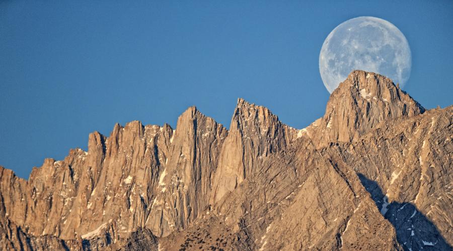
Highest Point: Mount Whitney 14,505'
Lowest Point: Badwater 282' below sea level
Land in Federal ownership: 92.0%
Land owned by City of Los Angeles: 3.9%
Land in State ownership: 2.4%
Land in private ownership: 1.7%
Population (2020 census): 19,016
Households (2019-2023 U.S. Census Bureau estimate): 7,923
Median Household Income (2019-2023 U.S. Census Bureau estimate): $72,432 (in 2023 dollars)
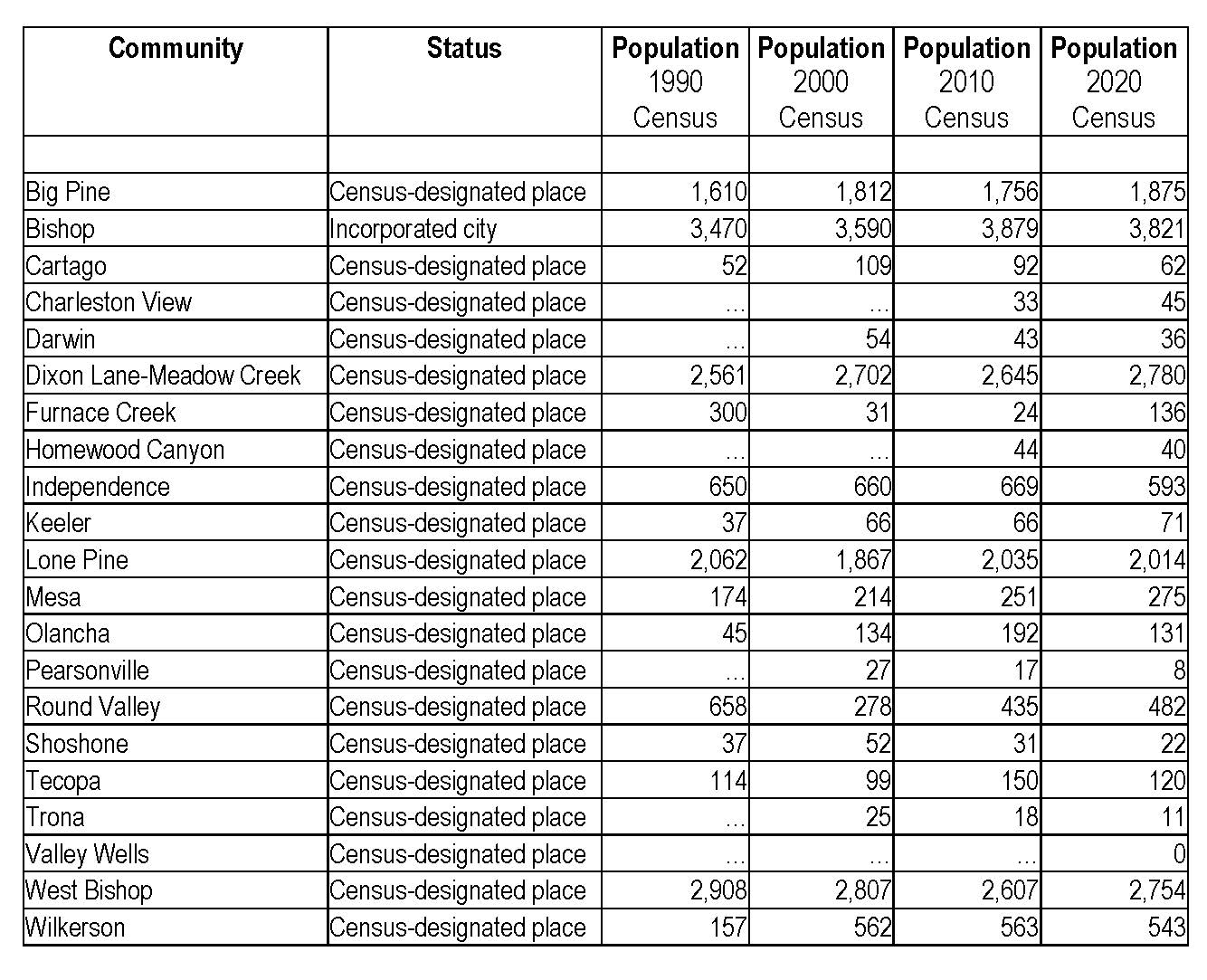
Following are the populations of Inyo County's Census-designated areas.