Services
- Administration
- Landfill Acquisitions
- Departmental Overviews
- Inyo County Film Commission
- Bid Request / RFP
- Board of Supervisors
- Code Enforcement - Zoning Violations
- County Administrative Officer
- County Budget & Analysis
- County Locations
- County Policies & MOUS
- Risk Management
- Staff
- Surplus Sales
- Agriculture
- Animal Services
- Assessor
- Auditor
- Child Support Services
- Clerk Recorder
- Coroner
- County Counsel
- District Attorney
- Elections
- Emergency Services
- Environmental Health
- Farm Advisor/UC Co-op Extension
- GIS Data & Maps
- Health & Human Services
- Human Resources
- Information Services
- Library
- Parks & Recreation
- Planning
- Probation
- Public Administrator Public Guardian
- Public Works
- Sheriff
- Solid Waste
- Treasurer-Tax Collector
- Veteran Services
- Water Department
Area Hazards and Public Safety Maps
- Home
- Services
- Emergency Services
- Area Hazards and Public Safety Maps
KNOW YOUR HAZARDS!
Different types of hazards cause different impacts, occur in different locations, and happen with varying degrees of severity. However, all have the potential to severely harm human health and safety, private and public property, ecosystems, and services. Like many other communities, Inyo County and Bishop could face substantial damage, injury or loss of life, interruptions to critical services, and other major challenges due to natural hazard impacts.
Use the Public Safety Mapping tools below to find out what hazards could impact the areas in which you live or work. Being informed is the best way to be prepared.
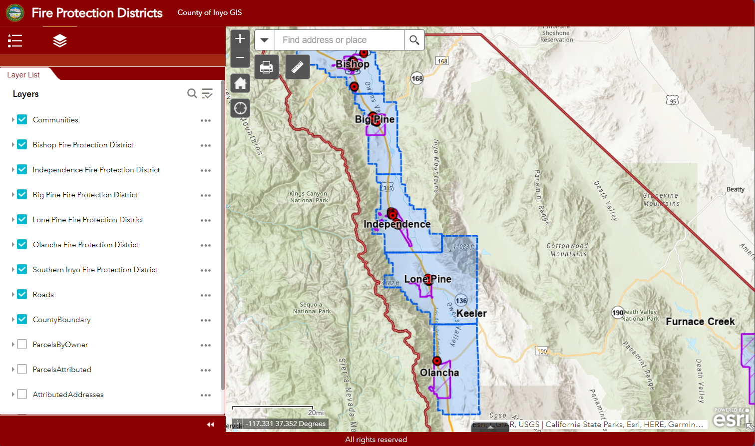
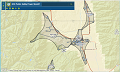
Fire Protection Districts and Hydrant Locations
Fire Protection Districts and Hydrant Locations
Earthquake Information including faults and shake potential
Earthquake Information including faults and shake potential
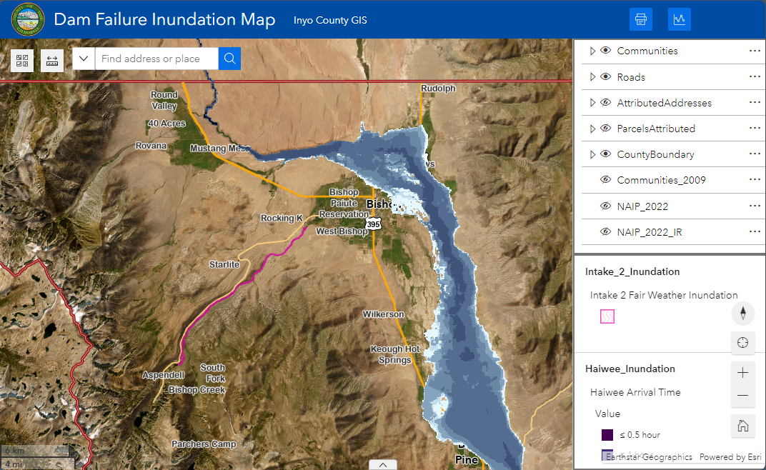
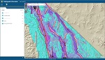
Dam Failure Inundation Map
Dam Failure Inundation Map
FEMA Flood Hazard Zones
FEMA Flood Hazard Zones
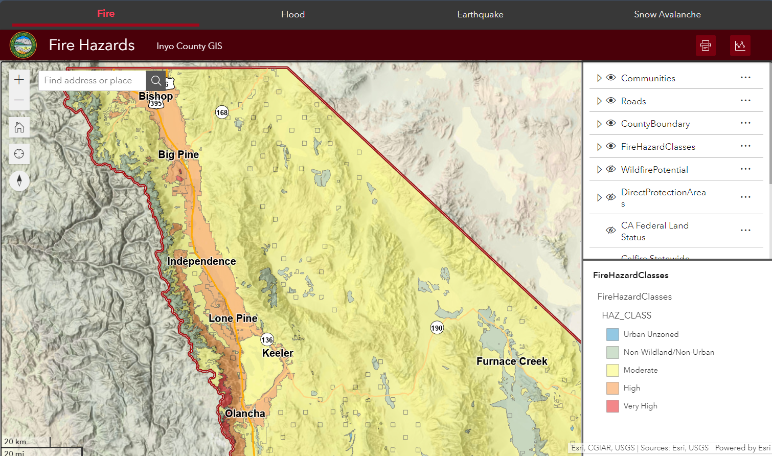
Fire, Flood, Earthquake and Avalanche Hazards
Fire, Flood, Earthquake and Avalanche Hazards